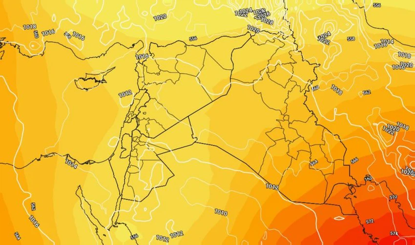
Jordan | Colder than average temperatures and a state of atmospheric instability that begins at the end of this year and continues until the beginning of next year
Arab weather - the latest outputs of numerical weather models indicate a decrease in temperatures with the last days of this year, Friday, and the first day of next year, Saturday, where temperatures remain lower than their rates for this time of the year and the weather is cold in all regions of the Kingdom with the spread of clouds At different heights, especially medium and high.
An intensification of southeast winds is expected by the end of the week
It is expected that southeast winds will continue to blow over the Kingdom by the end of the week, but with an intensification of their speed to become moderate, they are active at special intervals in the open areas and the slopes of high mountainous heights, and work to raise dust and dust and increase the sense of cold remarkably when active.
Night temperatures remain low
Night temperatures remain low at the end of the week, when the weather is generally cold to very cold, with a noticeable rise in surface humidity, and fog forms in separate areas of the Kingdom, especially over the eastern plains and the Badia regions.
A state of atmospheric instability begins gradually on Friday for several additional days
It is expected, God willing, that a cold air mass will rush towards northern Egypt, coinciding with the response and extension of the Red Sea depression, where a state of atmospheric instability arises.

A state of atmospheric instability gradually begins on Friday, and continues on Saturday, its effects in the form of the spread of amounts of clouds at different altitudes, and random and irregular showers of rain.
For more news, download the Arabia Weather app from here
God knows.
Browse on the official website