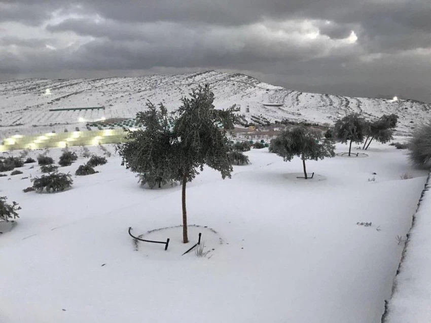
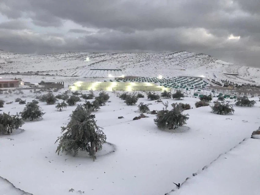
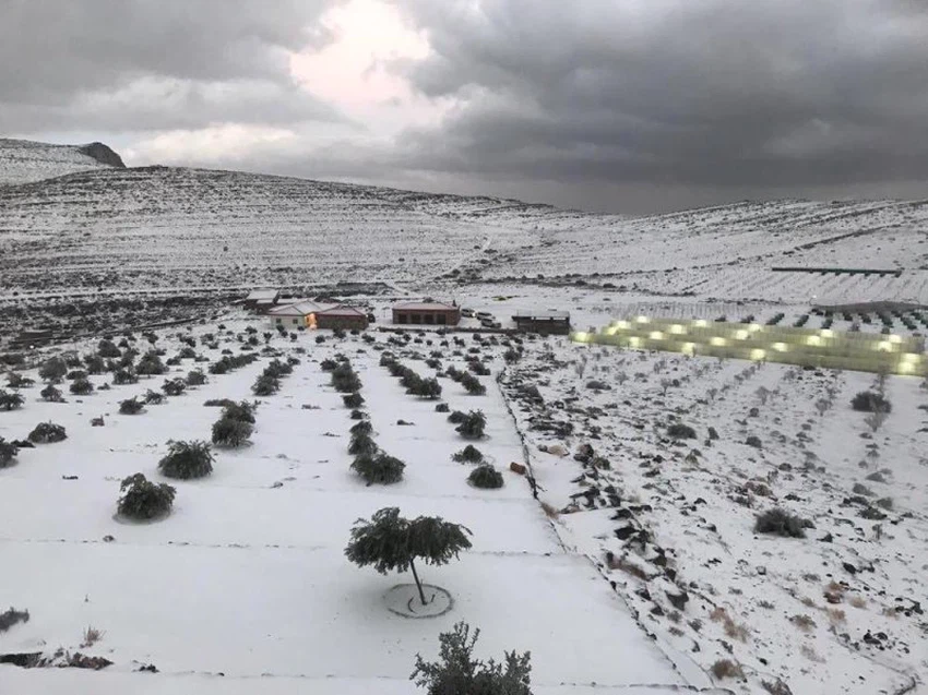
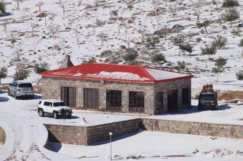
Photo and video Unique scenes of the snow of Mount Jess in the Emirates at dawn today
Arab weather - Sinan Khalaf - The United Arab Emirates was affected during the past 24 hours by an air depression that carried with it medium and heavy rains for large areas of the country, accompanied by the occurrence of lightning and thunder in some areas.
The cold air mass accompanying the depression caused a remarkable decrease in temperatures in various regions, especially on the high mountainous highlands, such as the summit of Jebel Jais, which witnessed the dawn of snow today, which accumulated impressively, to paint a beautiful divine painting in the place.
The observation station at Jebel Jais recorded the lowest temperatures, which are considered the lowest among the regions of the country, where it recorded -0.1 ° C below zero. Weather enthusiasts and storm chasers captured wonderful scenes from Jebel Jais.
It is noteworthy that Jebel Jais is the highest mountain in the Emirates, it rises from the sea level 1,934 meters, snowfall and snowfall on Jais Mountain is unique, it occurs in rare cases when the cold blocks succeed in delving deeper into the atmosphere of the region.


Arabia Weather App
Download the app to receive weather notifications and more..


