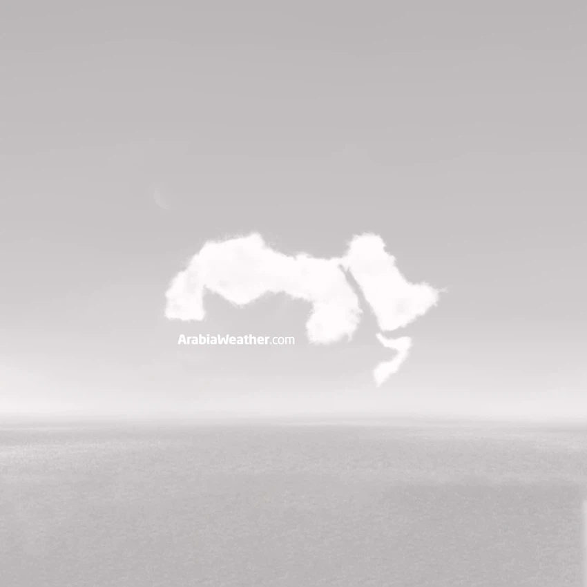
خارطة توضيحية : أماكن تواجد الغبار مساء الثلاثاء 2 -شعبان
2013-06-11
2013-06-11T09:46:03Z
موقع ArabiaWeather.com- أسامة الطريفي - تُشير البيانات الجوية الواردة الى مركز ArabiaWeather الى استمرارية هبوب رياح البوارح ليلة الثلاثاء 2-شعبان - 1434 هـ والتب ستسبب عواصف رملية ستؤثر على عدة مناطق كالتالي :
استمرارية الغبار على مناطق حفر الباطن والجبيل والدمام والاحساء والهفوف مسببة تدني وانعدام في مدى الرؤية الأفقية في تلك المناطق .
كميات من الغبار والعوالق الى المنطقة الوسطى بما فيها العاصمة الرياض والمجمعة والخرج.
غبار واتربة مُثارة على الطريق الواصل ما بين مكة المكرمة وجازان .
شاهد الخارطة التوضيحية :
.jpg&size=850x0&force_webp=1)
المزيد:
هلال شعبان يلمع في سماء الكرة الارضية
بشكل لا يصدق الثلوج تنهمر وسط روسيا مع بداية يونيو/حزيران – شاهد الصور
This article was written originally in Arabic and is translated using a 3rd party automated service. ArabiaWeather is not responsible for any grammatical errors whatsoever.


Arabia Weather App
Download the app to receive weather notifications and more..