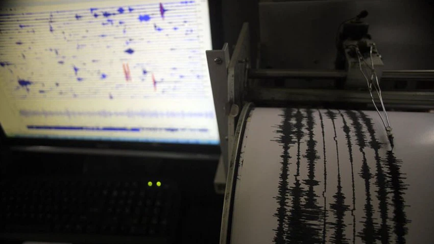
After the earthquake in Hail, learn about the areas most vulnerable to earthquakes in Saudi Arabia
Weather of Arabia - The Hail region witnessed an earthquake today, Friday, which raised fears among residents of the region and the rest of the Kingdom about the risk of earthquakes of varying strength in the near future.
To know the details of the earthquake and watch the video, click on the following links:
Watch...a circulating video of the earthquake that occurred this Friday afternoon in Saudi Arabia
Saudi Arabia | Earthquake east of Al Shannan, Hail
The most prominent earthquakes that struck Saudi Arabia throughout history
Saudi Arabia, like the rest of the world, is vulnerable to earthquakes, as historical records over the past hundred years confirm that the Kingdom has been exposed to earthquakes of varying intensity. The last significant seismic event that occurred in 1995 in the Gulf of Aqaba was the Haql earthquake with a magnitude of 7.3 on the Richter scale. It caused major damage that affected cities on both sides of the Gulf of Aqaba, and was felt by people hundreds of kilometers away.
Perhaps the Saudis are wondering, especially after the recent earthquake, where the seismic zones in the Kingdom are located.
You may also be interested in: Saudi Arabia weather
The areas most vulnerable to earthquakes in Saudi Arabia
The area between Medina, the border town of Haql, and the sea strip parallel to it is considered one of the most dangerous seismic areas in the Kingdom, due to the presence of major faults such as the Red Sea fault, the Dead Sea fault, and the Gulf of Aqaba.
Seismic activity is largely concentrated in the Harrat al-Shaqah area northeast of Yanbu , which geologists describe as a field of basalt volcanic eruptions belonging to the Holocene geological era. In 2007, seismic observatories recorded about 30 thousand tremors in this region, and in 2009 it witnessed noticeable seismic activity, It recorded 950 tremors during three weeks in May.
The Gulf of Aqaba region near the border town of Haql is also considered seismically active, as more than 4,000 earthquakes were monitored between 1983 and 2006, according to a previous report by “Sabq.”
Geology experts confirmed that the south of the Kingdom was exposed to more than 300 earthquakes between the years 1900 and 2006, their strength ranging between 3 and 6.6 on the Richter scale, as observatories recorded a 4.5-magnitude earthquake east of Jizan in 1993 and another 4.7-magnitude earthquake in the dam area. My owners east of Abu Arish in 1995.
The specialists explained that the Jazan region and the Gulf of Aqaba are among the most dangerous seismic areas in the Kingdom due to their proximity to volcanic sites in the sea. However, the Kingdom is considered a relatively stable region in seismic activity compared to neighboring countries such as Iran and Egypt.

The most famous earthquake in Saudi history
The most famous earthquake in the country's history occurred off the town of Haql in November 1995, when an earthquake measuring 7.2 on the Richter scale struck the area, followed by several aftershocks that affected Tabuk and the Al-Bidaa Center, which led to material damage and the death of two people. Experts estimated the number of aftershocks at about 3,000. , including 90 palpable tremors that lasted for three months.
Although it is not possible to predict the occurrence of earthquakes, there are some simple signs that may indicate seismic activity in the region, such as a rise or fall in the level of underground well water, a change in the color of the well water, the appearance of a very low fog with a sulfurous smell, and the unusual behavior of animals such as Sheep leaving pens and refusing to return, or chickens escaping to the tops of trees, or snakes suddenly emerging from their holes.
See also:
Saudi Arabia | Was the Hail earthquake caused by humans?
Report: What is the reason for the worsening heat wave during Hajj?
Sources:
Websites
Arabia Weather App
Download the app to receive weather notifications and more..


