Jordan: Warning of strong winds and heavy dust storms on Thursday in many desert areas.
Arab Weather - The Kingdom began today to be affected by a very cold air mass, which led to a noticeable drop in temperatures and a change in the weather to cold in the evening hours, with active westerly winds blowing, accompanied by strong gusts that stir up dust and dirt in many areas. It is expected, God willing, that the active winds will continue to blow tonight, and that they will intensify significantly during the day on Thursday.
A significant increase in wind speed on Wednesday night and Thursday, accompanied by strong gusts.
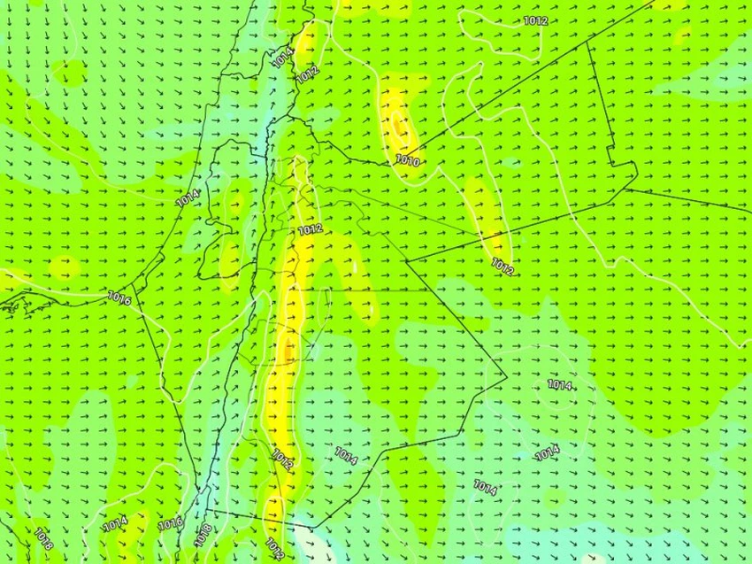
God willing, as the low pressure system deepens during the hours of Wednesday/Thursday night and Thursday morning and day, there is expected to be a noticeable increase in surface wind speed, as it will be strong and reach 50 km/h, accompanied by strong gusts over mountainous and exposed areas, especially in the late morning and afternoon hours, with gusts approaching 90 km/h, especially in the southern highlands and desert areas.
Dense dust waves and dust storms are expected in the southeast and east of the Kingdom, in addition to the eastern plains, especially in areas that have not experienced rainfall. The phenomenon of moving sand on desert roads is also not excluded due to strong wind speeds. The dust waves include the permeable desert roads, including the Baghdad International Highway and parts of the desert road that connects the capital, Amman, to the southern governorates of the Kingdom, causing a noticeable decrease in horizontal visibility, especially during the afternoon and evening hours.
The Arab Weather website advises securing lightweight, volatile objects from rooftops and reducing speed when driving on roads where visibility is reduced due to dust.
Winds will decrease in intensity on Thursday/Friday night, but will remain active, especially in the southern regions.
As the low pressure system moves toward northern Iraq, wind speeds will gradually decrease on Thursday/Friday night, while remaining active over the southern highlands of the Kingdom, accompanied by strong gusts at intervals in those areas, God willing.
Important recommendations from Arab Weather:
- Secure lightweight and volatile items.
- Beware of the risk of dust waves forming in the south and east of the Kingdom on Thursday and their impact on patients with respiratory and eye diseases.
- Beware of the risks of poor horizontal visibility on roads leading to the south and east of the Kingdom.
God knows best.


Arabia Weather App
Download the app to receive weather notifications and more..