On probation | Initial signs from some numerical models to form a tropical state in the Arabian Sea during the next week
Arab Weather - Sinan Khalaf - The weather forecast staff at the Arab Weather Regional Center is monitoring what some numerical models have indicated about the possibility of a tropical state forming in the Arabian Sea during the next week.
The European numerical model began by referring to the possibility of forming a tropical state in the Arabian Sea during the second half of October, while the rest of the numerical models do not indicate that, which means that the probability is still low and may fade or develop within the next two days, God willing, and Weather will follow up continuously. And the issuance of updates on the weather situation in the Arabian Sea first-hand.
More details about the increasing opportunities for tropical conditions in the Arabian Sea can be found in the monthly newsletter via the Arab Weather app
Conditions form tropical states in the Arabian Sea
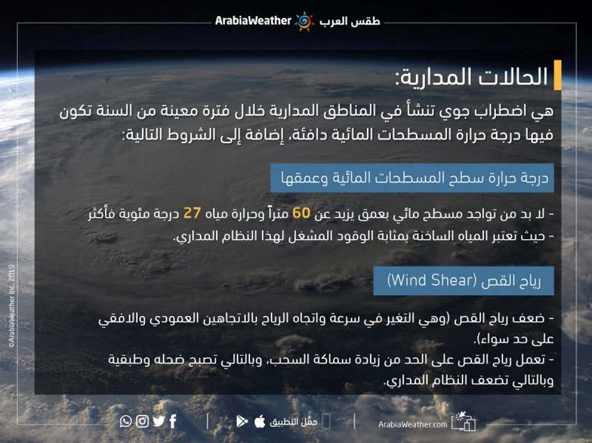
When delving into the details of the orbital condition , one must know what conditions must be met in order to facilitate the process of weather forecasting and to investigate the possibility of thunder clouds developing into an air system or not.
First: The surface temperature and depth of water bodies:
The growth and development of tropical states depends mainly on the presence of a body of water with a depth of more than 60 meters and a water temperature of 27 degrees Celsius or more, and hot water is the fuel that drives this tropical system.

With reference to the Arabian Sea, we find that the surface temperature of the water ranges between 27 -28 degrees Celsius, which is very suitable and ideal for the evolution of the weather, and the depth of the water in the Arabian Sea reaches 3-5 km. These conditions are very appropriate.
Second: Wind Shear
One of the important and fundamental issues in the development of tropical states is the weakness of the shear winds, and the shear winds are defined as the change in the velocity and direction of the winds in both vertical and horizontal directions, as these winds weaken and limit the vertical growth of thunderstorm clouds, that is, they hinder the process of increasing Cloud thickening, thus becoming shallow and stratified and thus weakening the orbital system.
Numerical weather models suffer from extreme difficulty in the process of monitoring, predicting and simulating tropical conditions , especially before the formation of the tropical depression, in addition to the many weather variables.
Arabia Weather App
Download the app to receive weather notifications and more..


